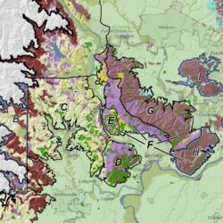
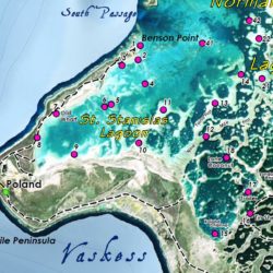
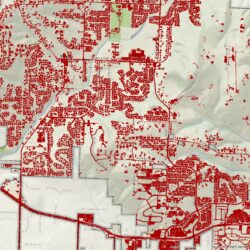
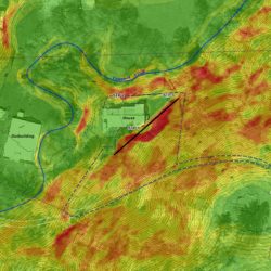
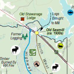
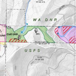
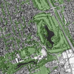
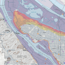
Location. We all need to know where. We provide clear, compelling cartography to display complex information. We offer every type of map including interactive webmaps, technical report mapping, maps for presentations, and large-format maps for your wall or public outreach.
AWARD WINNING GIS FIRM
Environmental GIS, for your project
Cascade GIS is dedicated to providing our clients with the right solutions, informed by years of cross-sector experience. We are MWESB-certified as a DBE, MBE, WBE, and ESB. We are federally certified as an EDWOSB and WOSB.
We offer personalized GIS services for small to large scale projects. Clients range from the public sector, private industry, and non-profits. We specialize in spatial analyses, cartography, database design, modeling, and web mapping, with strengths in environmental GIS analysis. A significant portion of our projects are compliance-driven: NEPA, ESA (Sec 7), FERC, CERCLA, CWA, and Sec 404 projects. Cascade GIS also has professional expertise in Cultural Resource compliance, including NEPA, NHPA (Sec 106, Sec 110, NRHP), NAGPRA, SEPA, CERCLA and CEQA, and can provide expert geospatial services for this sector.
With extensive experience, Cascade GIS can exceed your expectations while meeting your budget. We have worked with Tribes, federal, state, and city governments, local municipalities, museums, individuals, 501(c)3's, landowners, and private industry. Projects have included environmental mitigation design, riparian buffer calculations, environmental remediation, 3D geotechnical modeling, cultural resource database design, soil contaminant calculations, habitat assessments, HEC-RAS flood mapping, groundwater modeling, archaeological predictive models, cut/fill volumetrics, socioeconomic impacts, seismic studies, animal density calculations, viewshed analyses, and more.
MAPPING
SPATIAL ANALYSIS
Where, what and how much? We are experts in providing answers to your most complex geospatial questions. From cut/fill volumetrics to habitat suitabilty to harvest unit calculations, we give you the information you need to make decisions and act.
GIS MODELING
Do you have a complex spatial relationship to explore? What happens if…? We will develop a GIS model, providing an efficient way to document and adjust parameters. Iterate your data!
GEOSPATIAL DATA MANAGEMENT
You have a lot of data or you need data. We develop a geodatabase for you, organize your content, convert your tabular or CAD data to GIS data, and query, analyze or model it. Or we can create the data you need. Let us take it off your hands and manage it for you!
TOP QUALITY
Cascade GIS strives to provide you with the most accurate deliverable. The quality of our work sets us apart.
FLEXIBLE
Deadlines. The unforeseen. Moving targets. We work hard to ensure that you meet your obligations.
RESPONSIVE
Your time is valuable. We will respond to inquiries promptly with the information you need.
HAPPY CLIENTS
We are proud to have long-term clients. Top-notch work and client relationships are at the heart of Cascade GIS.
WHAT WE DO
some of our latest work
HOW WE DO IT
The Process
Idea
After gathering information from the client, we formulate our approach.
Design/Analyze
Upon client approval, the spatial analysis and/or map design begins.
Refine
The project undergoes documentation and QA/QC. Drafts are provided to the client for review.
Finalize
Feedback is incorporated and the analysis and/or map is finalized.
Deliver
The final product is delivered to the client electronically or hard-copy.


