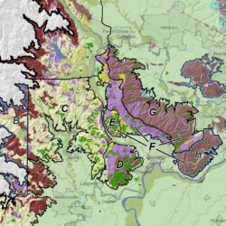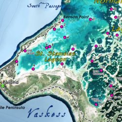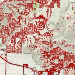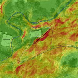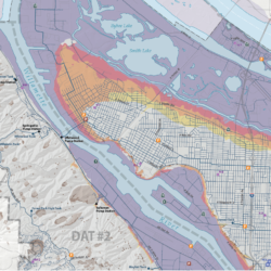
Cascade GIS served as GIS Lead for multi-year climate and geoscience project of the Willamette Valley American Viticultural Association (AVA) and its numerous nested AVAs. Tasks included geodatabase design, geospatial data organization, GIS modeling, spatial analysis, and cartography using NRCS soils, USGS and DOGAMI geology, PRISM climate data, LiDAR and NED elevations, and NHD hydrography. We resampled and aggregated monthly PRISM precipitation, temperatures, and dewpoint data to growing season (April – October).


