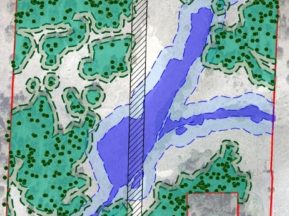
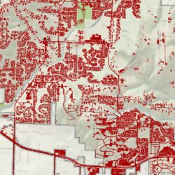
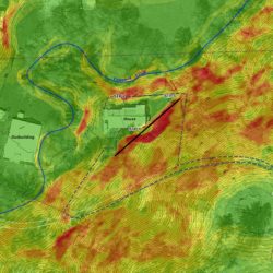
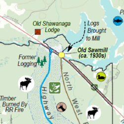
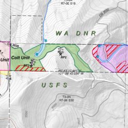
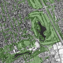
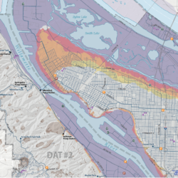
Cascade GIS provides mapping, analysis, and data management for timber companies, assisting them in forestry management. Harvest unit maps can show a variety of information, typically including streams, riparian buffers, leave areas (hazards and cultural resources), cadastral information (TRS, ownership), contours and elevations, terrain, roads, culverts and more.
Maps can be provided as georeferenced PDFs so that crews can access them easily on their mobile phones and see exactly what their position is on the map, increasing operational efficiencies.


