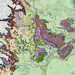
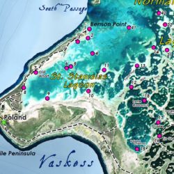
Cascade GIS & Consulting has many years of experience providing GIS support for shellfish aquaculture. Work has included spatial analysis, data management, and mapping for various permitting efforts such as JARPAs, BEs, and EISs. Cascade GIS has particular expertise in the Puget Sound tidelands.
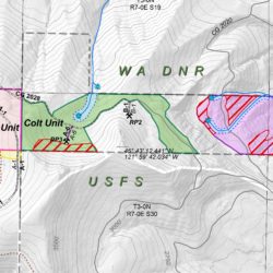
Working closely with our clients, biologists, surveyors, and planners, we provide the GIS services to help assess the potential impacts of proposed geoduck and other shellfish aquaculture activities on threatened and endangered species and their critical habitats. These studies are necessary to comply with Nationwide Permit 48 (NWP 48; Commercial Shellfish Aquaculture Activities). We calculate species densities, convert tabular data, postprocess GPS data, transform NOAA tidal elevations, calculate acreages, analyze eelgrass, sand dollar, and ulvoid occurrences, query parcel and other cadastral data, geoprocess elevation data, and map shellfish and other biological survey data, including Priority Species and Habitats.


