Shawanaga First Nation Traditional Use Study
In 1937 the Department of Highways (later reorganized into the Ministry of Transportation) assumed responsibility for Highway 7182, which runs northwest from Gravenhurst to Sudbury, in Ontario, Canada. The highway, also known as the trunk road, passes through the Reserve of the Shawanaga First Nation. The right-of-way, however, was never transferred to the Crown and therefore the reserve lands have been occupied by the government since its initial construction in 1932. The Ministry of Transportation-Ontario (MTO) agreed to address the issue in an effort to arrive at a settlement.
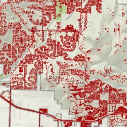
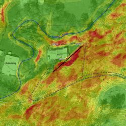
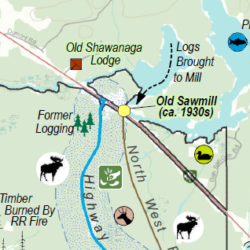
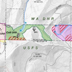
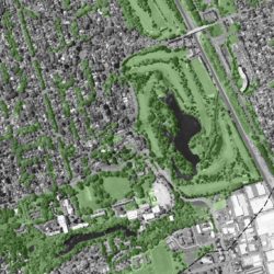
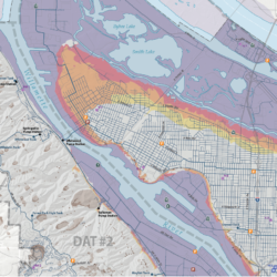
The analysis of impacts resulting from the loss of the traditional use of the Occupied Lands followed the Traditional Ecological Knowledge (TEK) framework which is a body of knowledge that is acquired by indigenous cultures over the millennia from living off of the subsistent use of the lands. The TEK framework is required in order to translate physical impacts to resources into meaningful costs. Primary data collection was conducted in the form of interviews with Elders, meetings at the Shawanaga Reserve, and a review of historical government correspondence documents including historical maps. A thorough review of all relevant historical, economic, and traditional ecological knowledge literature was conducted. Finally, GIS data were collected and analyzed to develop a series of maps that describe the impacts from the Occupied Lands. Once data and research were collected, an itemized list of the historical uses and impacts from the road was compiled and monetized using the benefit transfer approach.
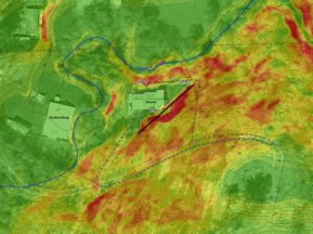
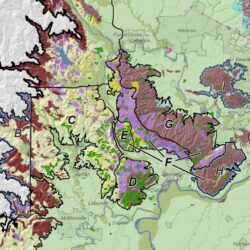
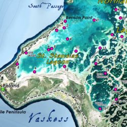
Together with economists, Principal Erica McCormick calculated the impacts of highway development on the traditional uses of the Band. McCormick drafted and conducted oral interviews with Elders of the Shawanaga First Nation on the Reserve, collecting information on historical resource use, mapping socioeconomic and traditional use data and performing GIS analyses to quantify impacts. She trained a Band member in archival map research and provided oversight on this research as well as follow-up Elder interviews, coordinating with international colleagues and the Band. McCormick performed primary research using the Band’s curated archival material and the oral interviews, designing and writing an ethnography for the Southeastern Ojibwa and an historical account for the Shawanaga First Nation. She compiled the natural resources, socioeconomic, and traditional use data and produced a thematic map series to depict traditional and current resource use in the project area, ethnographic and project area overviews, geology and landcover. McCormick provided GIS calculations for the socioeconomic team in support of final damages valuations for the injurious affection caused by loss of use, effects on wildlife habitat, and lifestyle infringements.


