City of Portland Water Bureau Seismic Study
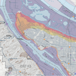
Cascade GIS was subcontracted by InfraTerra Inc to provide GIS services for this project. The purpose of the study was to evaluate the susceptibility to earthquake-induced permanent ground deformation along the water transmission and distribution infrastructure within the Portland Water Bureau’s (PWB) service area. This work was in response to the Oregon Resilience Plan (ORP). In addition, our team produced an infrastructure mitigation plan to meet or exceed the water recovery goals listed in the ORP.
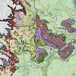
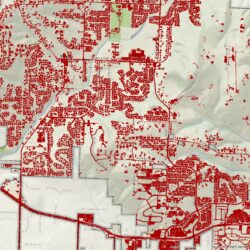
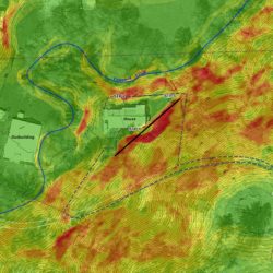
Cascade GIS served as GIS Lead, providing mapping, modeling, spatial analysis, and geospatial data management. Principal Erica McCormick modeled liquefaction, ground settlement, lateral spreading, and co-seismic landslide deformation in the PWB service area and along the conduits up to the Bull Run Reservoirs. She also conducted a conduit hazards analysis and least cost route in support of the mitigation plan.


