Kiritimati Fishing Map
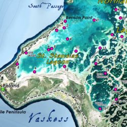
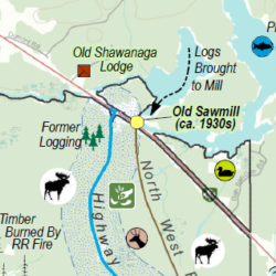
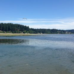
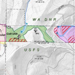
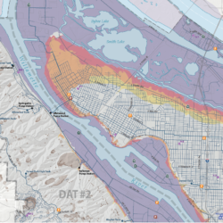
Located in the South Pacific, the entire island is a wildlife sanctuary. CXI, as it is referred to, is highly regarded by saltwater anglers for its bonefish flats and offshore fishing. Giant trevally and bonefish rise to the fly on the flats while tuna, wahoo, and billfish are found offshore. Due to its remoteness, there is a lack of reliable maps or spatial data. Cascade GIS located and fused a variety of incomplete data to create a beautiful and functional map of the entire island, including a regional inset map, transportation features (airports, roads, sand tracks, trails), populated places, points of interest, hydrographic features, bathymetric contours, a graticule, and of course a key of the 43 bonefish flats.
This map is 18″ x 24″ but can be produced up to twice the size without losing resolution. It is designed to be a convenient size to fold up and fit in your vest pocket while being detailed enough to take notes and track your progress. This map can be produced on waterproof media if requested.


