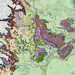
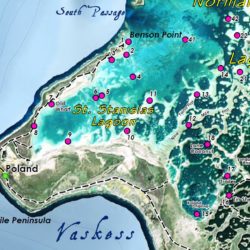
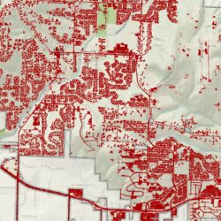
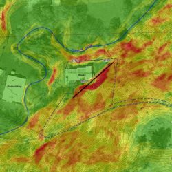
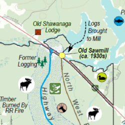
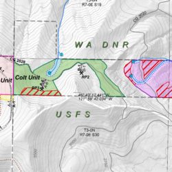
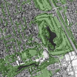
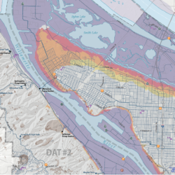
Welcome to our new website! Cascade GIS has outgrown the old website and needed a little freshening up. New content and images will continue to be added. Thanks for stopping in!
About CascadeGIS
Cascade GIS & Consulting LLC (Cascade GIS) is a respected and dedicated emerging small business with international experience and a local presence in the Pacific Northwest. With several years of cross-sector experience in environmental and cultural resources consulting, Cascade GIS offers geospatial and cultural resources services for small to large scale project needs. We are OMWESB certified as a DBE, WBE, ESB, and MBE, specializing in mapping, spatial analysis, database design, and cartography with strengths in environmental GIS. Our cultural resources compliance expertise includes NEPA, NHPA (Sec 106, NRHP), NAGPRA, SEPA, CERCLA and CEQA. Cascade GIS has worked with Tribes, Federal and State governments, local municipalities, museums, individuals, 501(c)3's, and private industry. Projects have included geodatabase design, groundwater plume modeling, soil contaminant calculations, cut/fill volumetrics, environmental mitigation design, environmental remediation, habitat assessments, habitat prioritizations, 3D visualizations, seismic studies, archaeological predictive models, socioeconomic impacts, viewshed analyses, and more. Located in the Portland metropolitan region, Cascade GIS benefits from an outstanding and unparalleled GIS community. A strong network of GIS professionals, geographers, engineers, environmental scientists, and urban planners, as well as a continuous professional development culture, enables Cascade GIS to exceed expectations. Principal/Owner Erica D. McCormick is a certified GIS Professional (GISP) and a Registered Professional Archaeologist (RPA). She has worked extensively throughout the Pacific Northwest.


