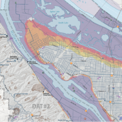
Planning, from infrastructure development to land use rezoning and public works management, benefits from the spatial understanding that GIS provides.
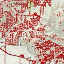
Cascade GIS can help you manage your assets, map your project, and calculate proposed changes. From CAD conversion to impervious surface analyses, we provide solutions to your geospatial challenges.
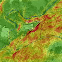
We are experienced in converting and overlaying your CAD data onto basemaps, querying and analyzing your converted data, and calculating proposed impacts.
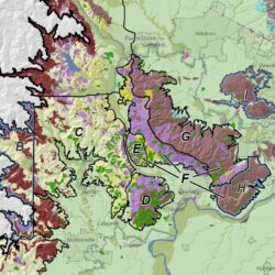
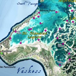
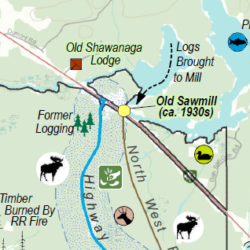
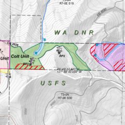
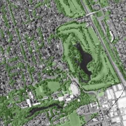
We have mapped planned infrastructure in parks, created custom topographic maps, quantified vegetation change over time, mapped watershed boundaries and geologic units, calculated acreage of affected wetlands and vegetation communities, digitized proposed rezoning, mapped constraints, and performed floodplain analyses.


