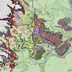
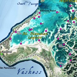
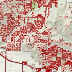
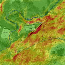
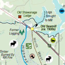
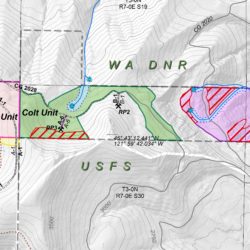
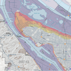
Cascade GIS works closely with geologists, chemists, and engineers on projects including groundwater plume modeling, soil remediation, Phase I ESAs, soil mapping, flood mapping, hydraulic modeling, and seismic hazard modeling.
We can work with your HEC-RAS outputs, your spreadsheet of well data, and your database of soil contamination samples, turning these into maps, calculations, and models.


