Cascade GIS provides expert GIS support for the cultural resources. Principal Erica McCormick began her career as an Archaeologist, during which time she became proficient in GIS. McCormick has worked in the Eastern Sierras of California, parts of Idaho and Canada, and extensively throughout Oregon and Washington. She served as a Field Director and Lithic Analyst. She is a Registered Professional Archaeologist (RPA).
McCormick has authored over 100 technical reports submitted to and reviewed by the State SHPOs. She has consulted with numerous Tribes including The Confederated Tribes of Warm Springs; The Confederated Tribes of Grand Ronde; Confederated Tribes of Siletz; Confederated Tribes of Coos, Lower Umpqua and Siuslaw Indians; Confederated Tribes of Umatilla Indian Reservation; Cow Creek Band of Umpqua Indians; Klamath Tribes; Coquille Tribe; Chehalis Confederated Tribes; Confederated Tribes and Bands of the Yakama Nation; Nez Perce Tribe; Big Pine Band of Owens Valley Paiute Shoshone Indians; Bridgeport Paiute Indian Colony; Benton Paiute Tribe; Bishop Paiute Tribe; Lone Pine Paiute and Shoshone Tribe; Mono Lake Indian Tribe; and the Shawanaga First Nation.
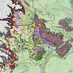
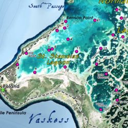
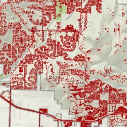
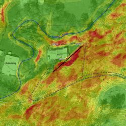
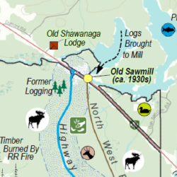
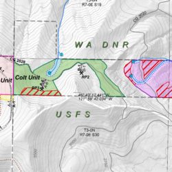
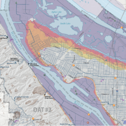
Cascade GIS provides geospatial services for the cultural resources including archaeological predictive modeling, site mapping, data dictionary development, historic map georeferencing, geodatabase development, and preparing your GIS deliverables (to SHPOs or other agencies).


