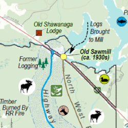
Cascade GIS & Consulting has many years of experience providing GIS support for shellfish aquaculture, crop agriculture, and forestry. Work has included spatial analysis, data management, and mapping for various permitting efforts such as JARPAs, BEs, and EISs. Principal Erica McCormick grew up on an orchard and tree farm, and was active with 4-H large animal livestock. She is currently a well-regarded poultry breeder, and therefore has a passion for working with those who work with the land.
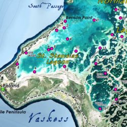
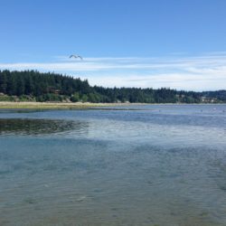
Within the aquaculture field, we coordinate closely with our clients, biologists, surveyors, and planners, providing GIS services to help assess the potential impacts of proposed geoduck and other shellfish aquaculture activities on threatened and endangered species and their critical habitats. These studies are necessary to comply with Nationwide Permit 48 (NWP 48; Commercial Shellfish Aquaculture Activities). We calculate species densities, convert tabular data, postprocess GPS data, transform NOAA tidal elevations, calculate acreages, analyze eelgrass, sand dollar, and ulvoid occurrences, query parcel and other cadastral data, geoprocess elevation data, and map shellfish and other biological survey data, including Priority Species and Habitats. Cascade GIS has particular expertise in the Puget Sound tidelands.
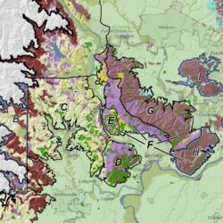
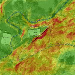
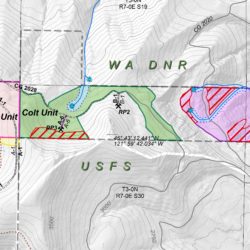
We also work for timber companies, assisting them in forestry management. Harvest unit maps can show a variety of information, typically including streams, riparian buffers, leave areas (hazards and cultural resources), cadastral information (TRS, ownership), contours and elevations, terrain, roads, culverts and more. Maps can be provided as georeferenced PDFs so that crews can access them easily on their mobile phones and see exactly what their position is on the map, increasing operational efficiencies.


