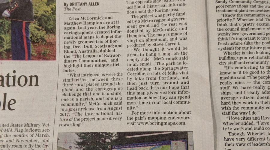
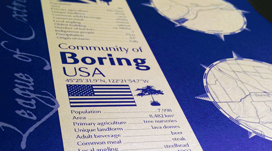
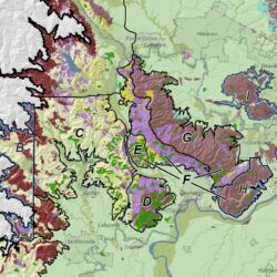
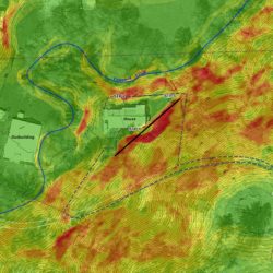
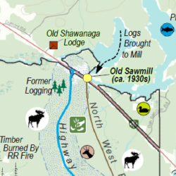
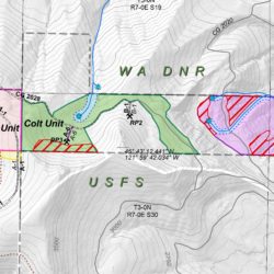
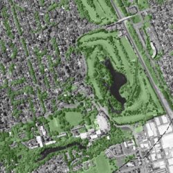
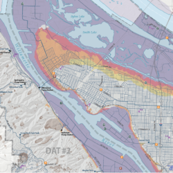
Cascade GIS, together with Matthew Hampton of Cascadia Cartographics, created a new map of the Boring region. The map is installed in the Boring Station […]
We are happy to announce that we are now Federally certified as an EDWOSB (Economically Disadvantaged Woman-Owned Small Business) and a WOSB (Woman-Owned Small Business)! […]
Welcome to our new website! Cascade GIS has outgrown the old website and needed a little freshening up. New content and images will continue to be […]
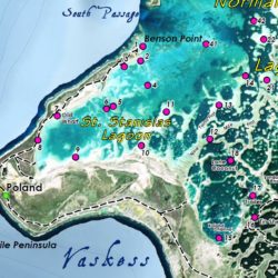
Cascade GIS wrote a LinkedIn post describing the development of the Bland, Dull, and Boring illustrative poster! This beautiful piece of artwork was developed with […]
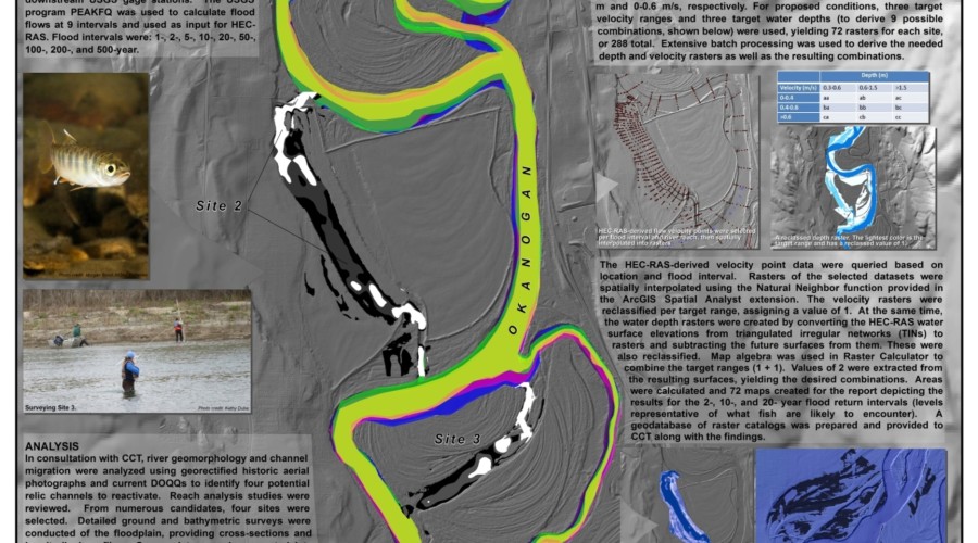
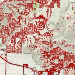
Cascade GIS presented a poster at URISA’s 2014 GIS in Action Conference in Portland, Oregon, held at Portland State University. This poster was also presented […]
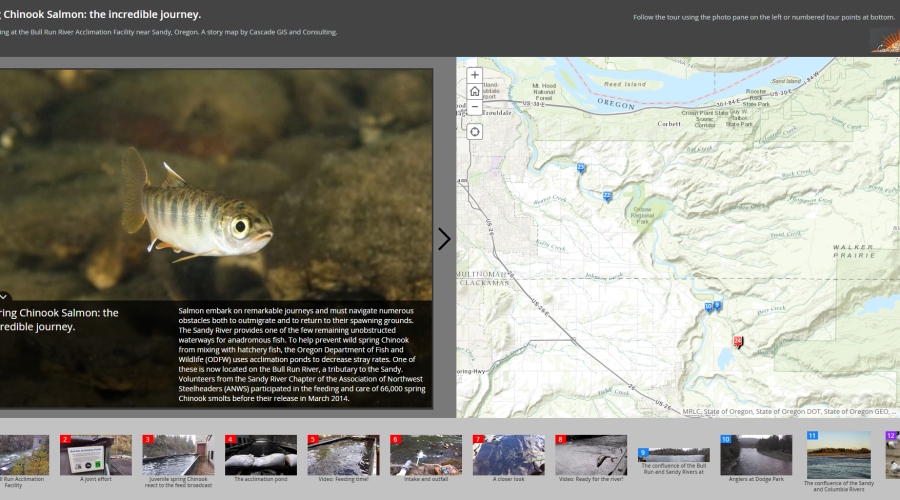
Cascade GIS created a web map describing our volunteer efforts at the Bull Run River Acclimation Facility near Sandy, Oregon. This story map by chronicles the […]


