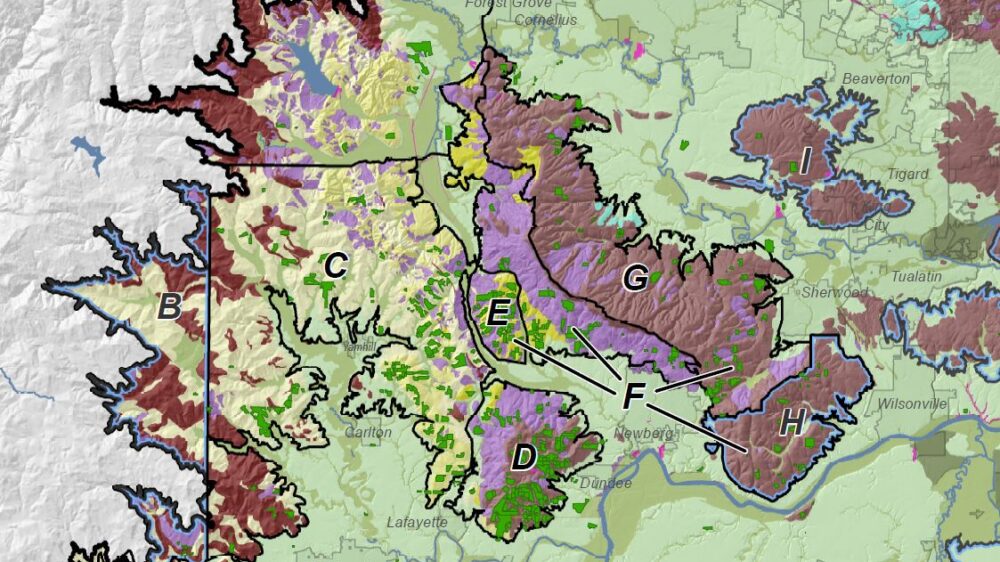
Willamette Valley AVA Geoscience Study
Cascade GIS served as GIS Lead for multi-year climate and geoscience project of the Willamette Valley American Viticultural Association (AVA)…
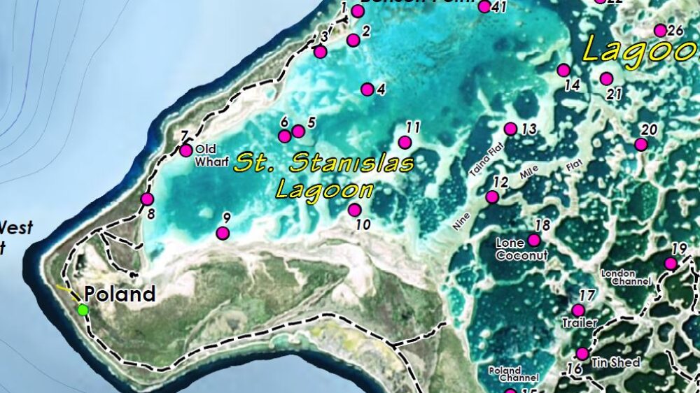
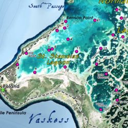
Christmas Island Fishing Map
Our original large-format map was created for a flyfishing client traveling to Kiritimati, an island in the Republic of Kiribati.…
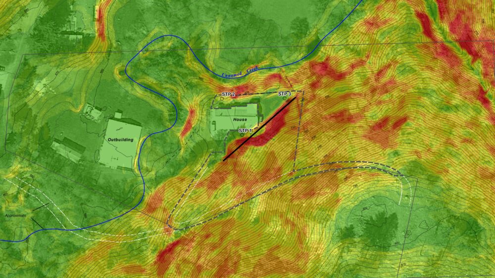
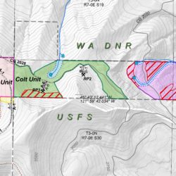
NRCS Emergency Archaeological Survey
Cascade GIS was contracted by the Columbia Soil & Water Conservation District to provide archaeological services for the NRCS-managed Emergency…